The use of remote sensing for assessing current forest conditions, treatment planning and project implementation has a long and extremely productive history in forestry and natural resource management. Over the past 20 years, managers and specialists have transitioned from film-based aerial photography to digital remote sensing and have grown dependent on products (or derived-products) like Landsat and Sentinel satellite imagery, National Agricultural Imagery Program (NAIP) and Color-Infrared Resource Photography—and most recently, airborne LiDAR (Light Detection And Ranging).
To help land managers better understand the use of LiDAR for forest applications, researchers Andrew Sánchez Meador and Jonathon Donager developed a fact sheet that describes the types of data LiDAR provides and the potential applications of LiDAR products.
LiDAR Fact Sheet: https://cdm17192.contentdm.oclc.org/digital/collection/p17192coll1/id/963/rec/2

Modernizing 4FRI Implementation: Progress After Two Years Workshop
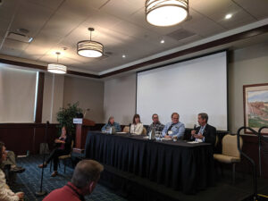
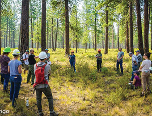
The ERI hosted a two-day modernization workshop on Oct. 29 and 30, 2019 in Flagstaff to mark two years since Forest Service staff, The Nature Conservancy and industry partners were convened by the ERI in Phoenix to identify efficiency and modernization actions that could be tested during 4FRI implementation. More than 100 people attended for a peer-to-peer, in-classroom learning session—one of the many topics discussed was LiDAR. Attendees also took part in a half-day field trip to understand what forest features, like drainages and trees, look like through LiDAR data on tablets.


