Publication Corner: Climate Influences on Future Fire Severity
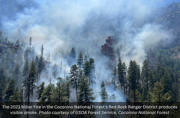
Climate change is expected to continue to exacerbate impacts to forested ecosystems by increasing the frequency, size, and severity of wildfires across the western US. Warming temperatures and shifting precipitation patterns are altering western landscapes and making them more susceptible to high-severity fire. Increases in large patches of high-severity fire can result in significant impacts to landscape processes and ecosystem function and changes to vegetation structure and composition.
In a new set of publications—a journal article and summary fact sheet—researchers examine the predicted climatic influence on fire regimes, describe predicted changes, impacts, and risks related to fire with climate change, and discuss how management options may mitigate some impacts of predicted fire severity and moderate some impacts to forests, carbon, and vegetation changes post-fire.
Some key findings:
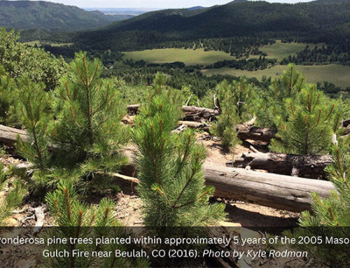
- Wildland fire coupled with drought can cause shifts toward altered vegetative communities, and forested ecosystems may often experience lagged responses to climate change.
- Annual area burned by wildland fire across the western US is projected to increase up to five times of that observed in 1961–2004 by the year 2039, and fire seasons have become 2–3 months longer when compared to previous decades.
- Projected hotter and drier conditions across some areas in the western US may directly increase fire severity by drying out fuels and vegetation, with dry years experiencing higher burn severity than wet years.
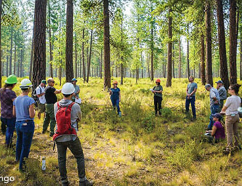
- Forest restoration and fuels reduction treatments can be effective at mitigating climate impacts; however, the efficacy of these treatments depends on the extent and intensity of the treatment, stochastic weather events, terrain, and remaining forest structure and composition.
New StoryMap: Climate Change Vulnerability in the Southwest
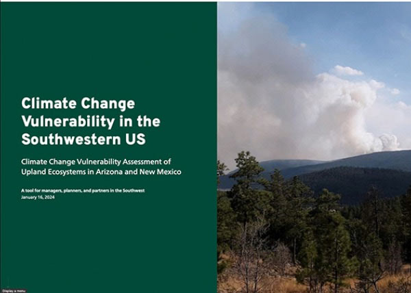
This StoryMap was developed by the Ecological Restoration Institute and NAU Geospatial Research and Information Laboratory in collaboration with the USDA Forest Service as a tool for managers, planners, and partners to explore climate change vulnerability and uncertainty in the Southwest using interactive maps at multiple scales and across land stewardships. Use the maps to explore the potential vulnerability of these systems to future change at the watershed level and landscape scale.

