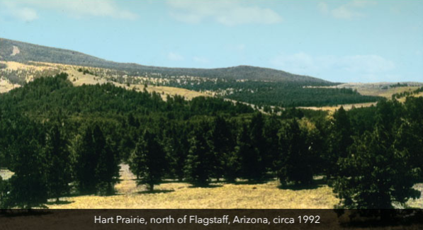
Scientists and land managers use many different lines of evidence, including dendrochronology, forest structure data, and historical documents and photographs, to reconstruct a landscape’s historical forest conditions and fire regimes. One line of direct evidence, historical photos, is qualitative by nature but provides valuable visual information of conditions before the effects of fire exclusion changed forests throughout much of the Southwest.
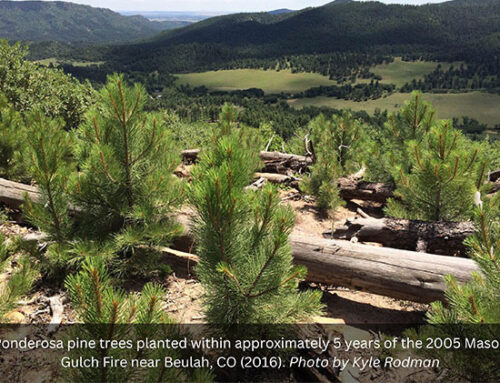
While historical photos provide an abundance of historical information about a place, they represent a snapshot in time. Repeat photography can offer visual evidence of tree encroachment on a landscape scale. Additionally, repeat photos can show tree density, fuel loads, and understory response before and after restoration treatments and are an effective communication tool to reach diverse audiences.
In recent years, the ERI has compiled historical-current photos and repeat photos of before and after restoration treatments to use as visual communication tools. We often receive requests from partners for these photos, and we are pleased to share that they are now available on our website.
Each set of photos is taken from the same photo point and the photos are overlaid to be interactive; they allow you to slide back and forth from the “before” (or historical) photo to the “after” (or present-day image).
In addition to our photo blog, we also recommend reading Larissa Yocom Kent’s 2014 working paper, An Evaluation of Fire Regime Reconstruction Methods, for a detailed review of the strengths and weaknesses of the methods used, including historical and repeat photography, to reconstruct historical fire regimes.


